

| "> |
Mangarakau and beyond
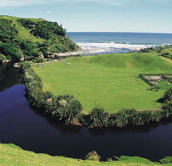
Beyond Westhaven there are manuka moorlands to the left, high bluffs to the right. Suddenly there is a scatter of houses, and you are in Mangarakau. In earlier times there were sawmills and a coal mine but these are gone and the village has shrunk accordingly. However, life is returning to these distant parts. The thirsty and hungry traveller might once more find sustenance at the local café. A few kilometres on, the wide but shallow Paturau River meets the sea near the base of a high cliff. Tangles of driftwood, a haze in the air and the boom of surf tell you that this is the energetic Tasman Sea and you can expect exhilaration, perhaps some vigorous south-west wind and an empty seascape, apart from the odd trawler, and, more rarely now, a bulk cement-carrier en route to Westport. Near the site of the old hall, on Richards Road, is a plaque commemorating the pioneers of this lonely district. Clean farmland and superb views carry on down the coast for another 12 kms or so; a sudden descent sees you at Anatori, with a small huddle of baches on the banks of the shingly river. If you have a suitable vehicle and the ford is crossable, you can drive on for several kilometres to the Turimawiwi River but for most people, this is the end of the line. It's a good place to camp, there are fine beach walks, seafood is available (take your quota, if need be, but no more) and you've got that special feeling that you’re away from it all. Continue to read information about >>>> Puponga Golden Bay businesses, get
listed with the Golden Bay Directory, its simple and FREE!
|
||||
Home | User
Contributions | Visitors Guide | Golden
Bay Directory
Contact gbnet | Search
the Net | gbnet Webmail
Advertising and sponsorship opportunities
© 2002 gbnet